It feels like skiing, except I don’t have skis. And there’s no snow. And rather than me moving over the ground, the ground seems to be moving under me. But except for that, the descent of New Zealand’s Mt. Ngauruhoe feels almost exactly (okay, not exactly, but almost) like skiing.
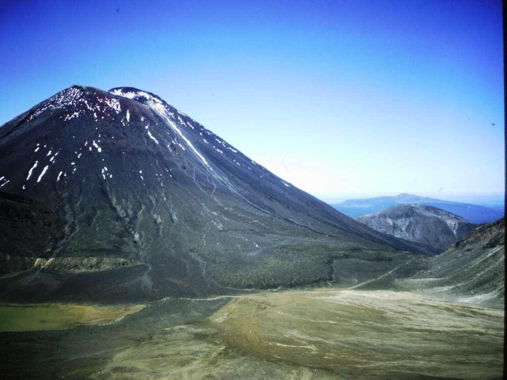
Mt. Ngauruhoe is a part of the Mt. Tongariro complex in the middle of New Zealand’s North Island. Tongariro is really a collection of 12 related volcanoes, and although 7,503-foot Ngauruhoe sits off by itself looking very grown-up and independent, it’s actually a subdidiary peak of the smaller-in-elevation but larger-in-mass 6,490-foot Tongario.
In Your Bucket Because…
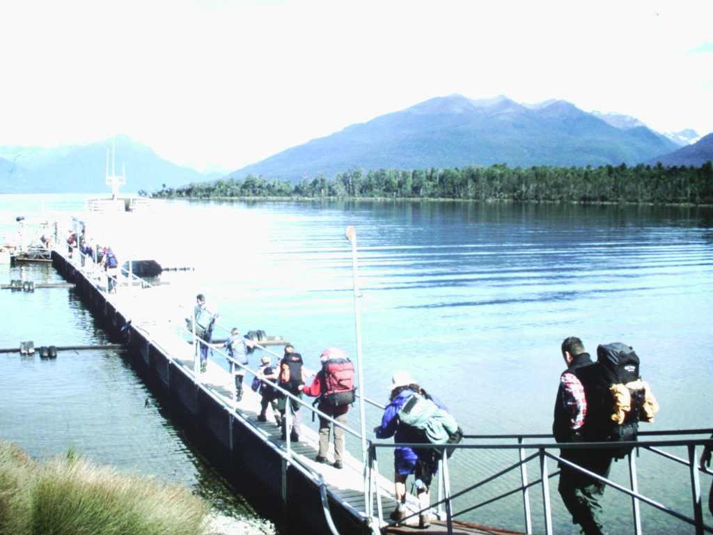
- The Kiwis know tramping, and the Tongariro Alpine Crossing is the most popular dayhike in the country.
- Mt. Ngauruhoe offers a chance to peer into the crater of a still active volcano.
- Good for hikers and photo buffs.
Two hiking tracks are contiguous here: The multi-day Tongariro Northern Circuit, one of New Zealand’s “Great Walks,” roughly circles Mt. Ngauruhoe. The mostly straight-line Tongariro Alpine Crossing, one of New Zealand’s most popular day hikes, goes past its eastern base as it traverses a unique lunar-like landscape of lava fields and active volcanic features. I have to say, Ngauruhoe exerted an almost magnetic pull when I tramped toward it on a spectacular early summer day.
Climbing Ngauruhoe
For day trippers, climbing Mt. Ngauruhoe is a bit of a problem: The single-day Tongariro Alpine Crossing is long enough – about 12 miles – and takes about seven hours. Adding on Ngauruhoe adds another two hours, making it difficult for those depending on transport services to meet them at the end of the hike.
But I was on my own schedule, doing the entire 4-day Tongariro Northern Circuit. Approaching Mt Ngauruhoe, I ran into some hikers coming the other way, who assured me that it was indeed possible to climb the classically-shaped cone with thin wisps of steam floating out of vents near the summit.
The climb is strenuous, mostly because it’s like walking up a down escalator: The slope can be as steep as 45 degrees, and with every step, you sink deep into the layers of loose tephra, pilli, and ash that cover the mountain. Each attempt to push yourself up seems to result in a slide back down. Think of climbing a sand dune and you’ll get the idea. The technique I eventually settled on was like a mountaineering kick-step, where I tried to jam my toes straight into the ash, lean forward, and use my poles to help push me up. Looking for large solid chunks of rock sometimes helped. Sometimes gravity won.

The summit was worth the effort. This is an otherwordly landscape with stark lunar-like lava fields, brilliant and improbably colored lakes, and hissing steam vents. It looks like it could be a setting for a fantasy film. And indeed, Ngauruhoe was a stand-in for Mt Doom in Lord of the Rings.
Coming down was like taking an express train. You simply run and slide in a skiing motion, shifting your weight from one foot to the other, and scrambling to stay balanced. It’s a lot of fun, but if you’re inclined to do this, bring gaiters to keep the ash out of your boots. Even with gaiters, I ended up with volcanic debris coating my feet.
Tongariro National Park and Trails
All of this is part of Tongariro National Park, a UNESCO world heritage site acknowledged for both its natural and cultural importance. The park is laced with hiking trails, but the two most popular are the four-day Tongariro Northern Circuit, which takes in 50 kilometers, the highlight being its intersection with the even more popular single-day Tongariro Alpine Crossing. Interestingly, in 2007, the day-hike’s name, which was formerly the Tongariro Crossing, was changed to include the word “alpine” because rangers wanted to highlight the fact that hikers are entering a harsh mountain environment and should have appropriate skills, experience, and equipment. So, hikers: Be warned!
Practicalities
- Bring plenty of water: There is no permanent potable water source on the Alpine Crossing, as much of the water is too mineralized to drink. You’ll need enough for for a 12-mile hike. Figure two to four liters, depending on fitness, seasonal heat, weather conditions, and anticipated hiking time.
- Tongariro Circuit hikers should book reservations for the huts at the park office. There are four huts. Cooking stoves are provided, but you need to bring bedding and food.
- If Ngauruhoe is snow covered, you’ll need ice axes, crampons, and the skill to self-arrest.
- It’s possible for Alpine Crossing hikers to manage Ngauruhoe by arranging to stay at one of the huts and make an overnight out of it. Book ahead at the park office.
- The area is geologically active: earthquakes and volcanoes are possible.
Republished 2020. Note that volcanic eruptions occasionally close the trails in this region..